Japan Façades
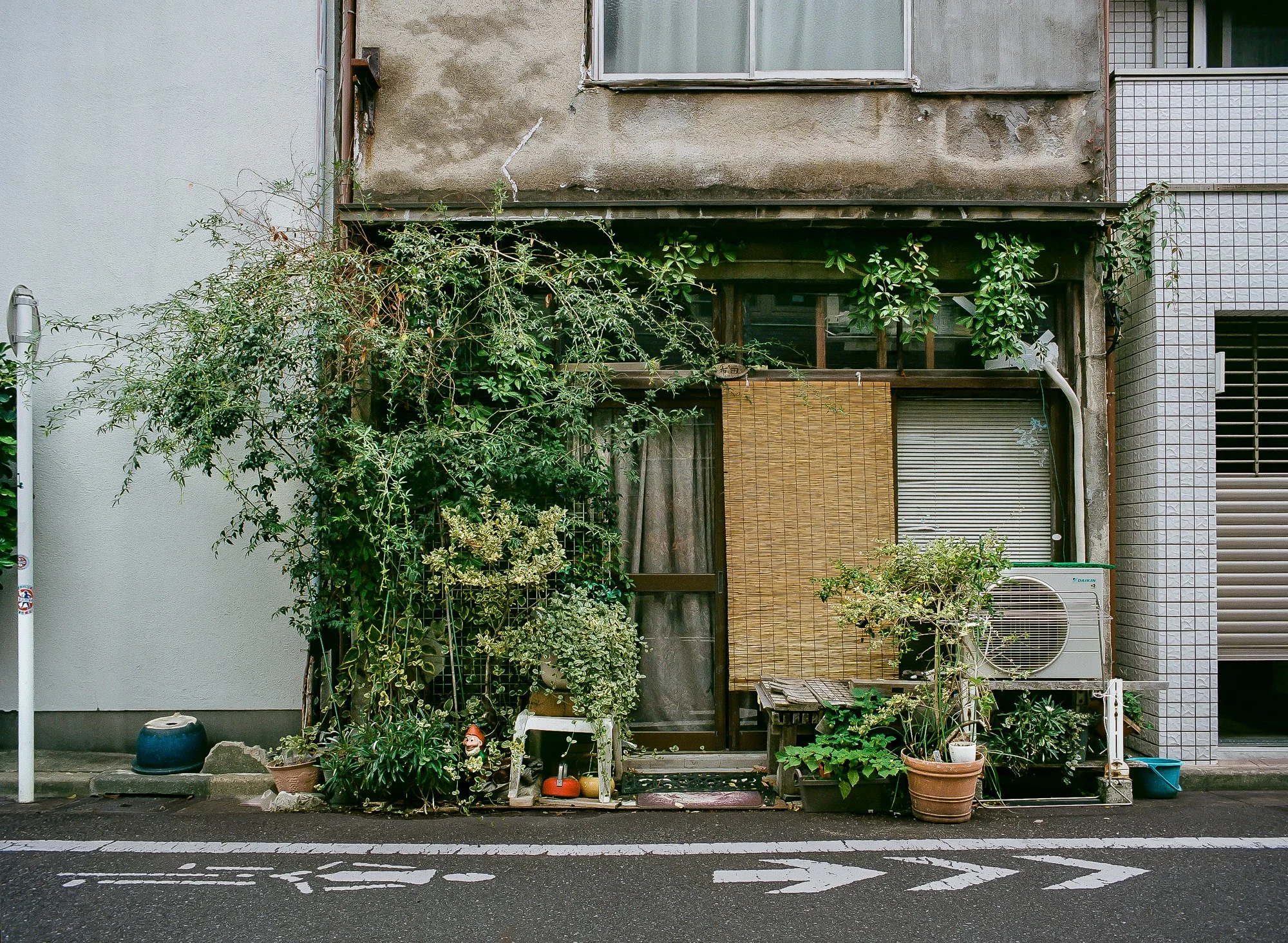
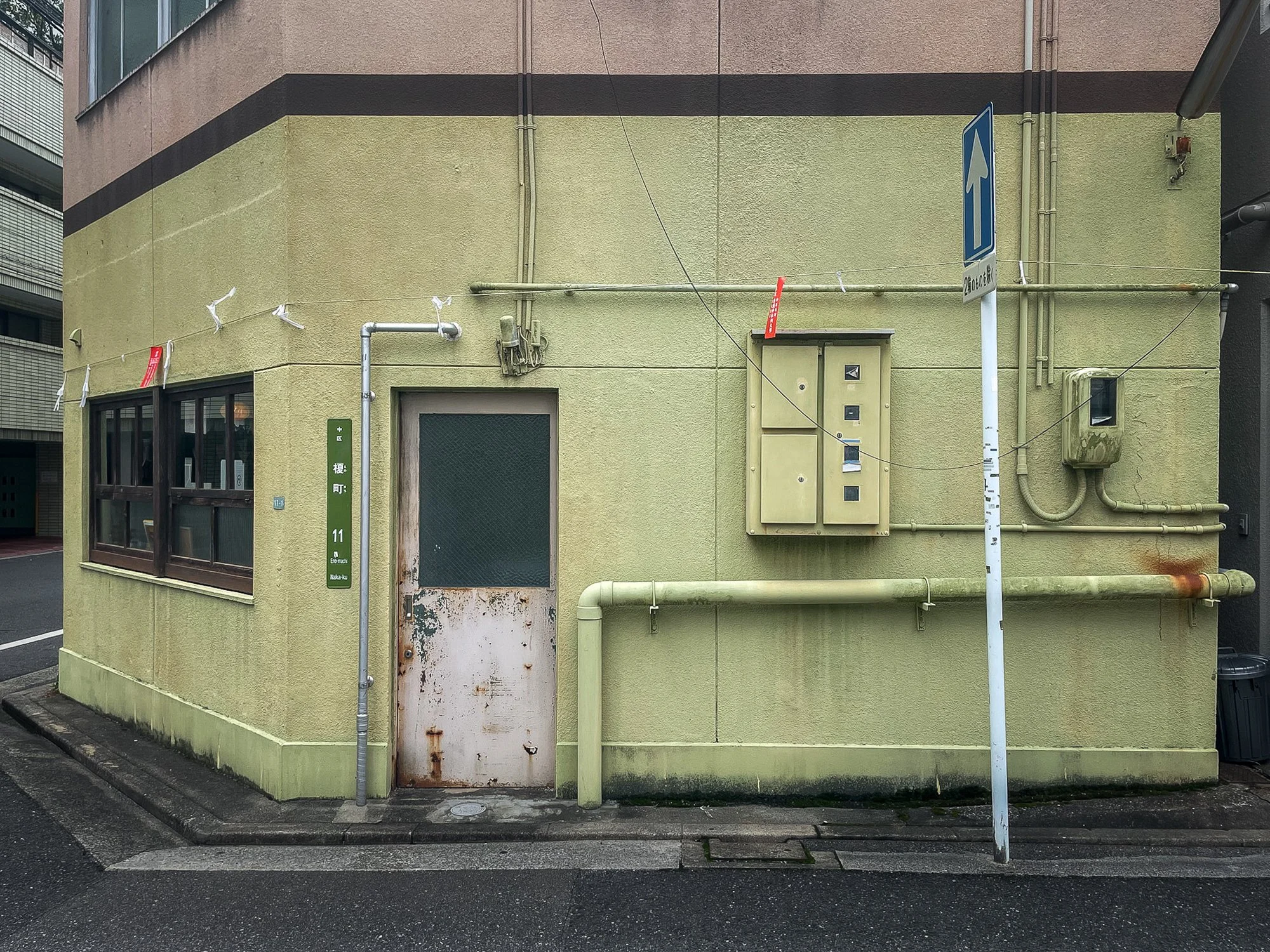
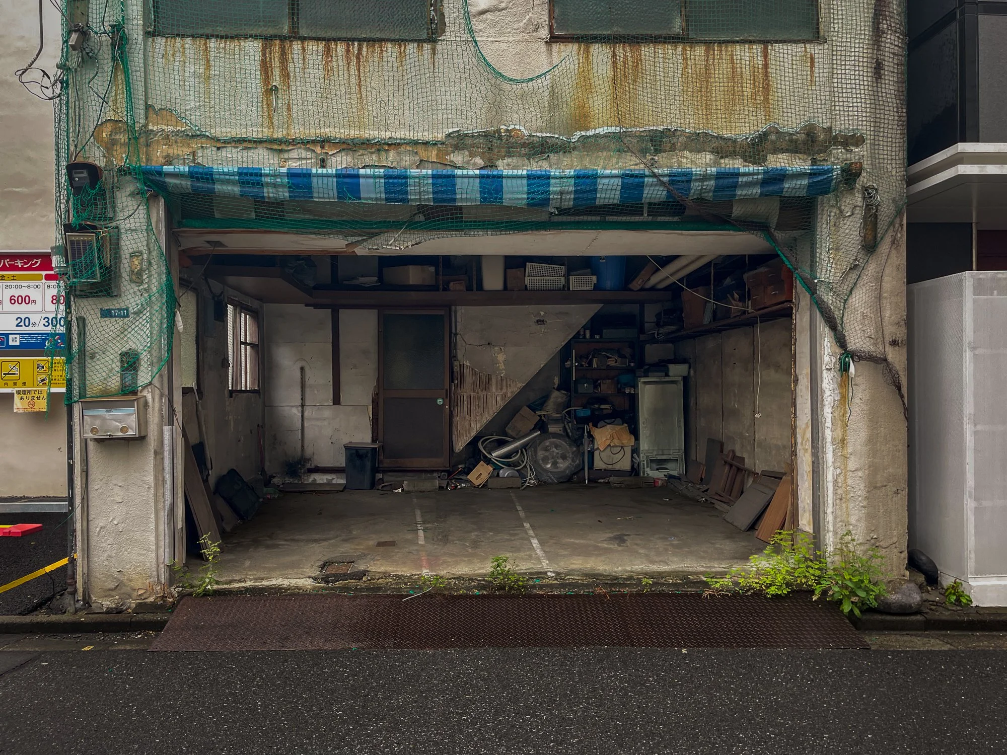
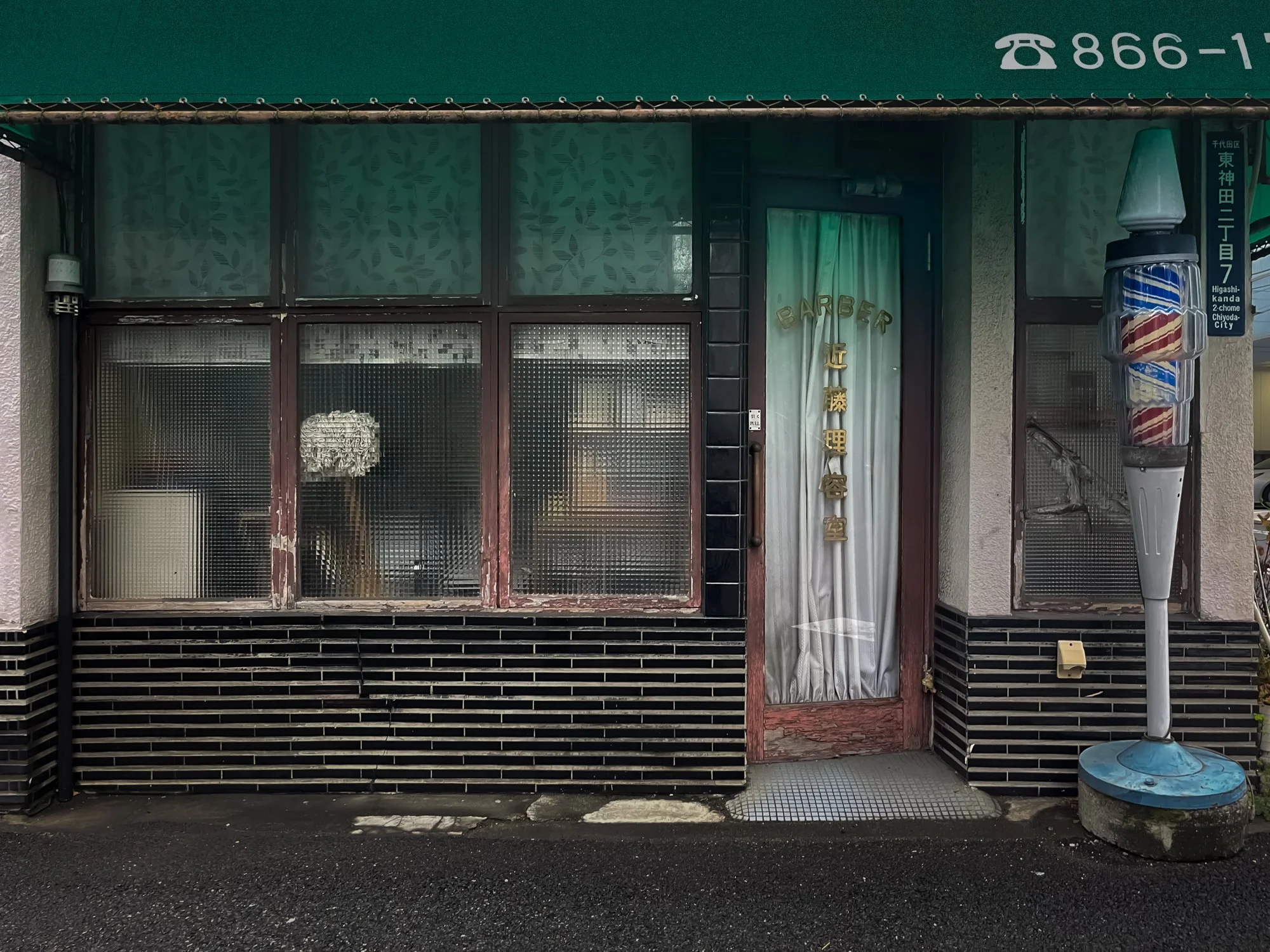
Captured during solitary morning walks, these photographs examine the enduring textures and unintended still lifes found in the margins of the Japanese street.
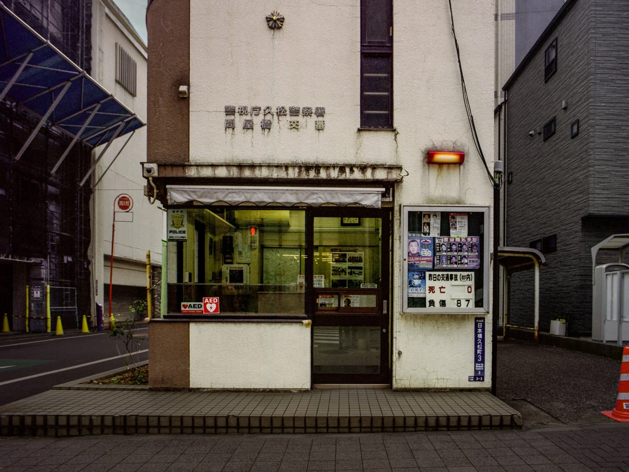
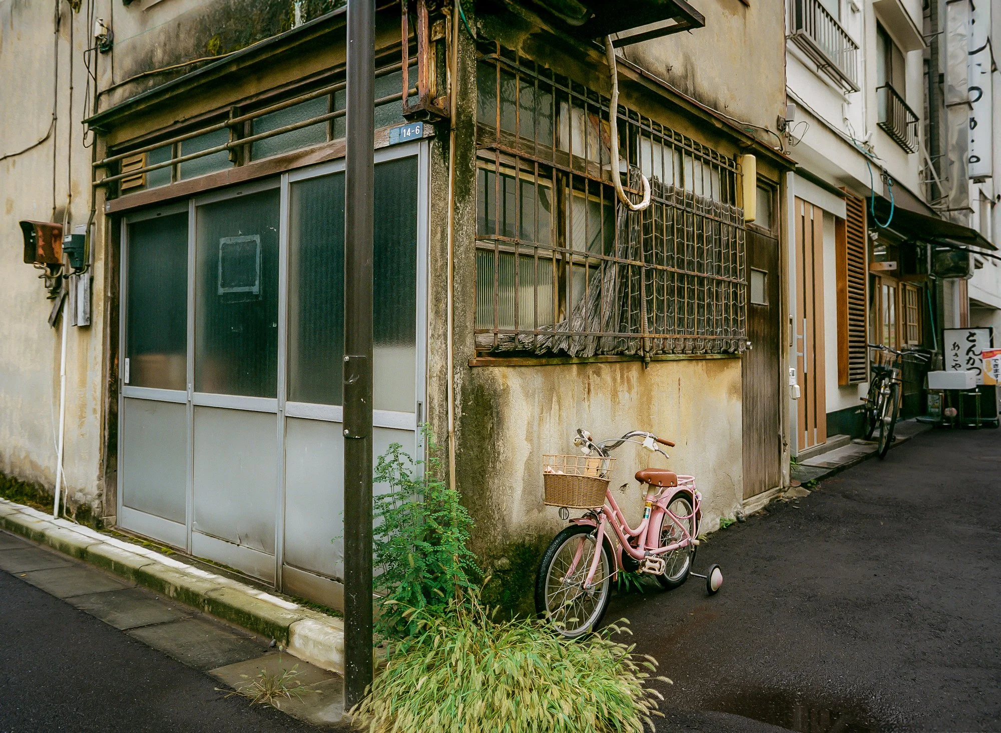
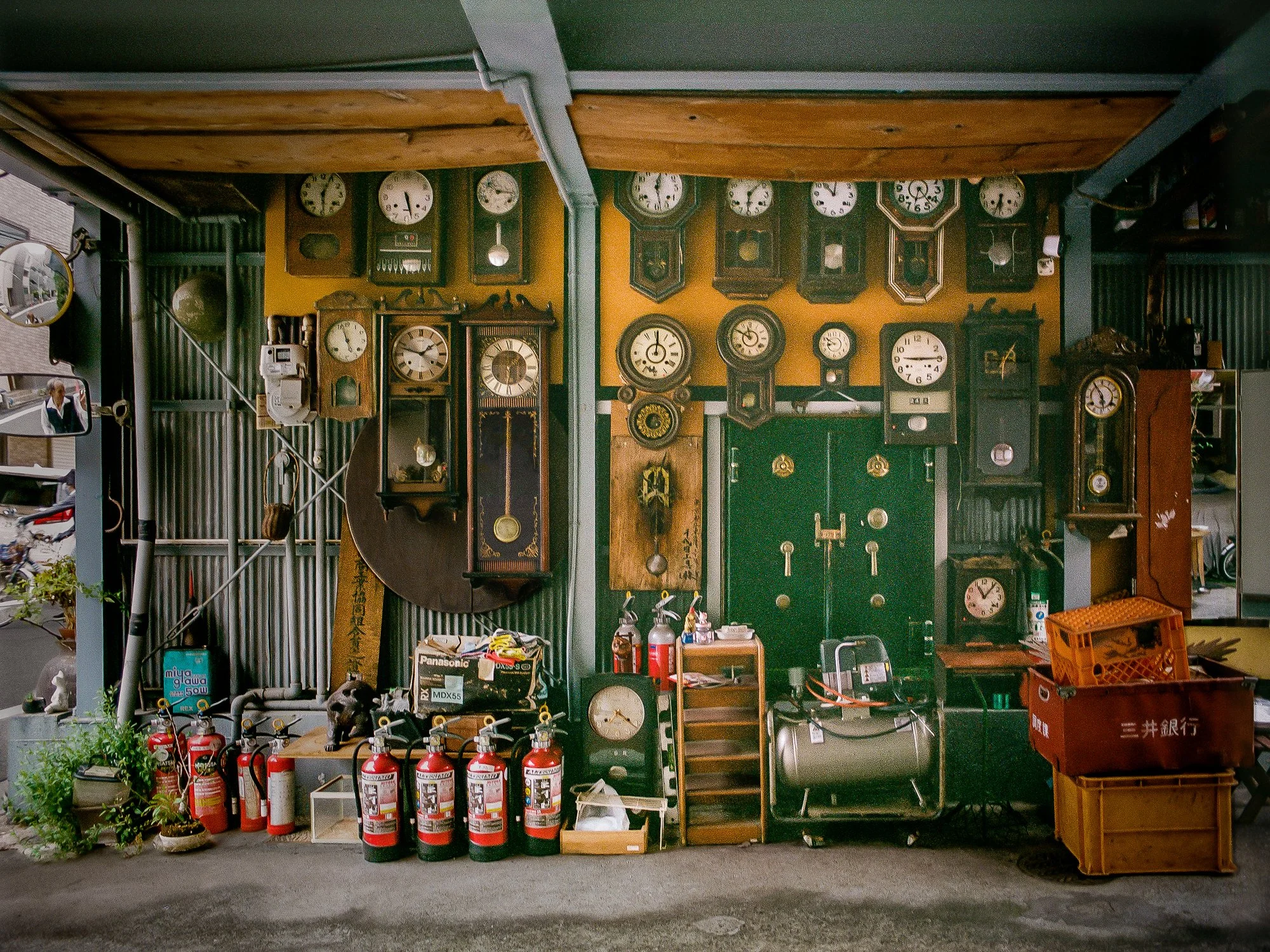
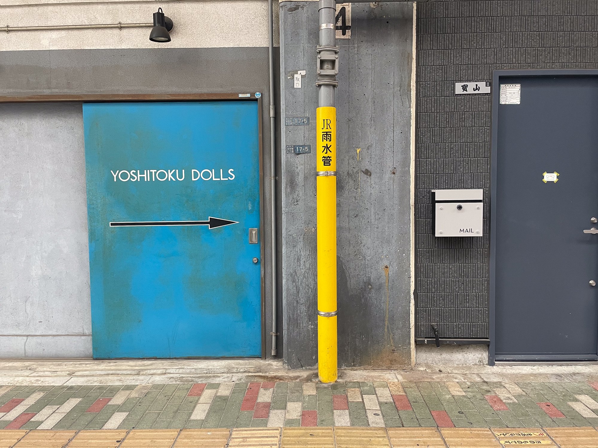
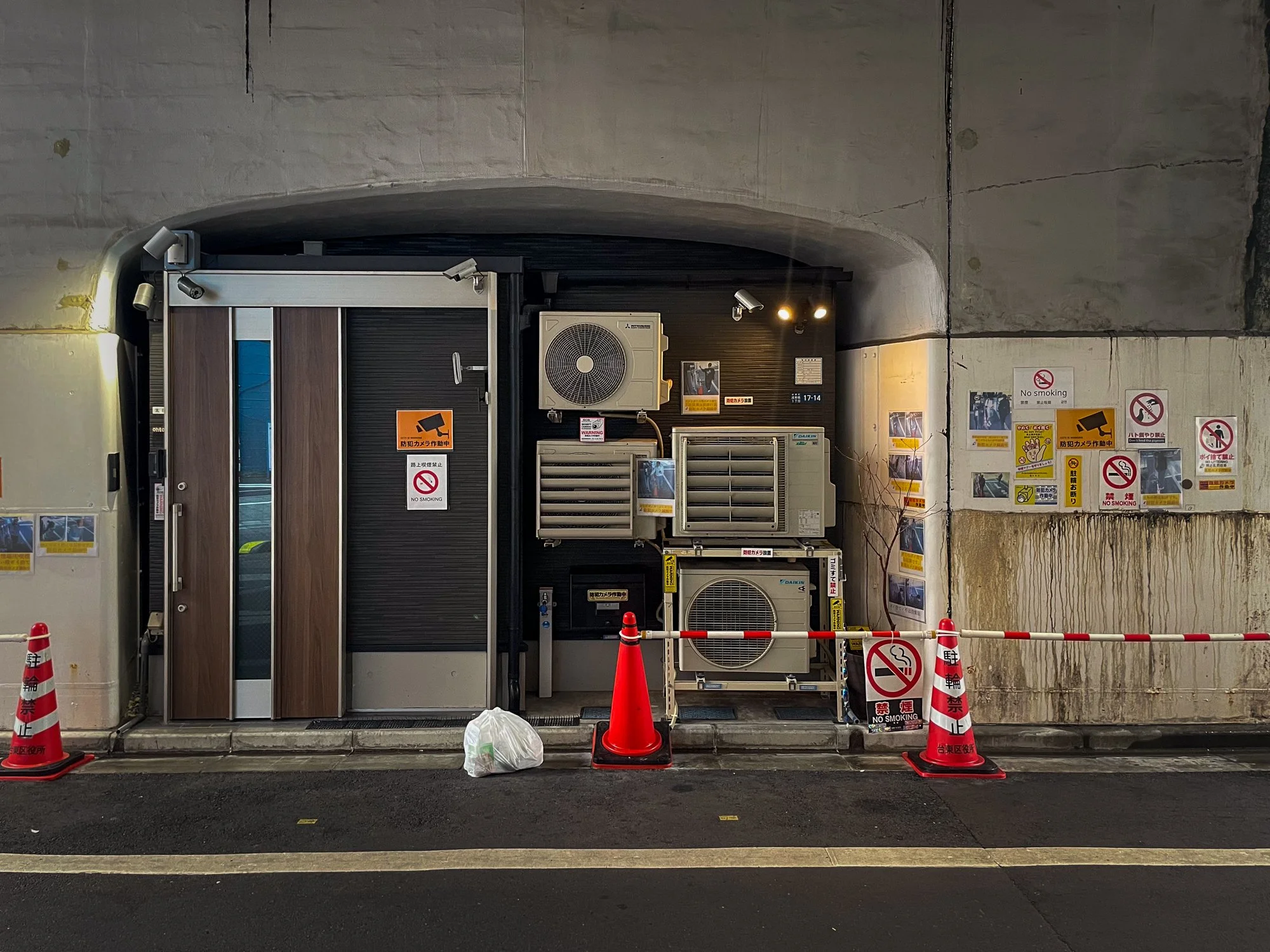
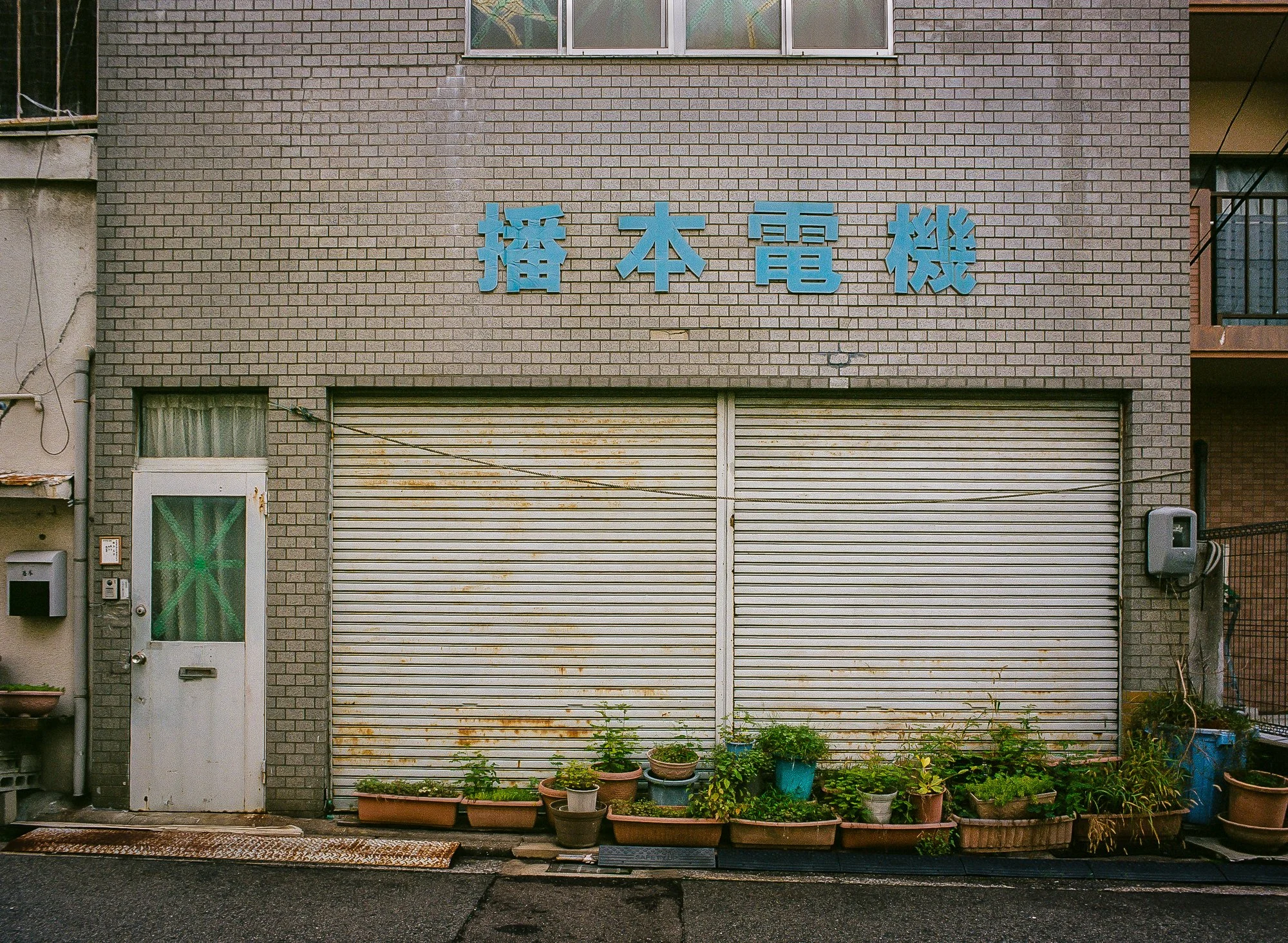
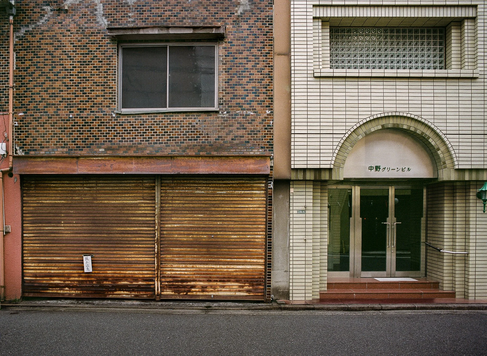
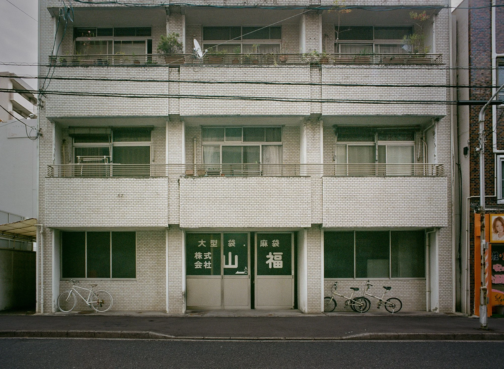
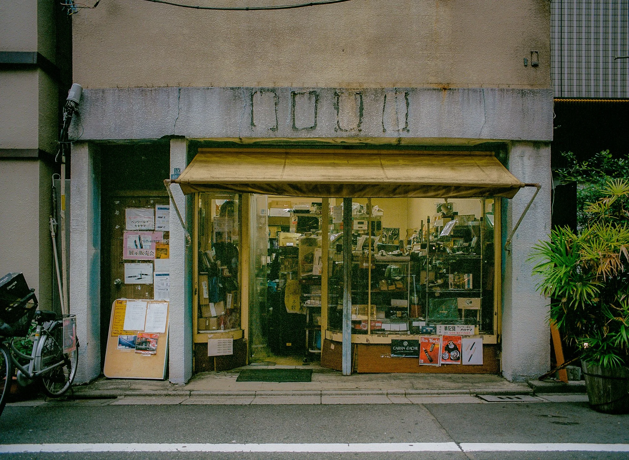
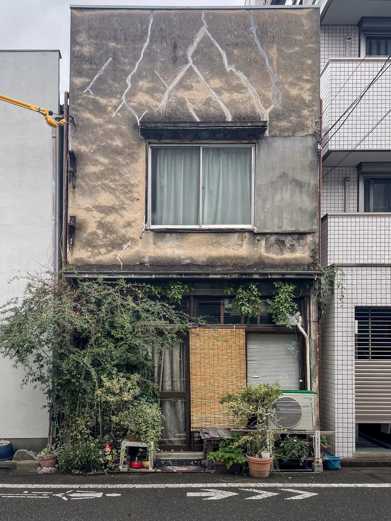
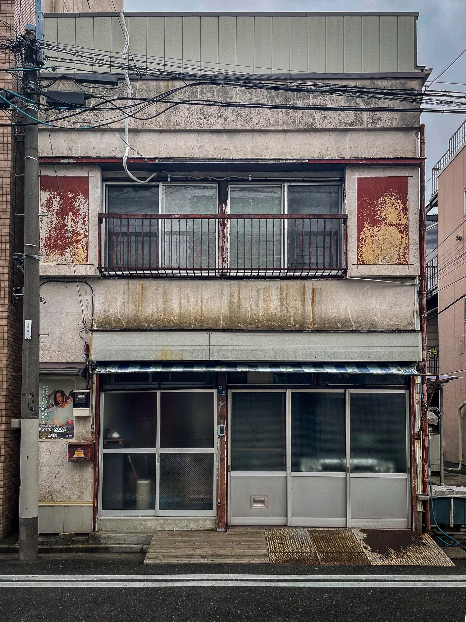
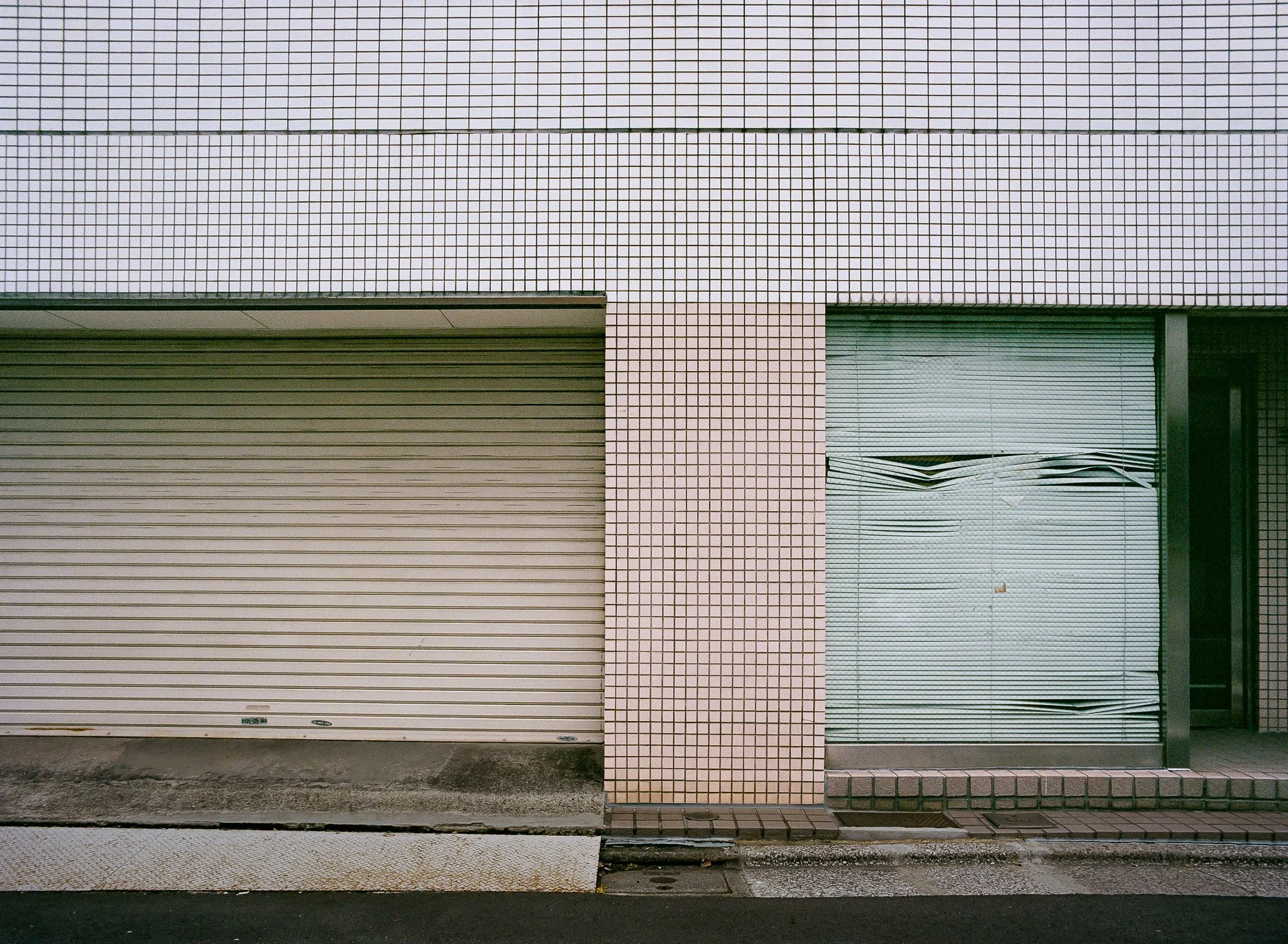
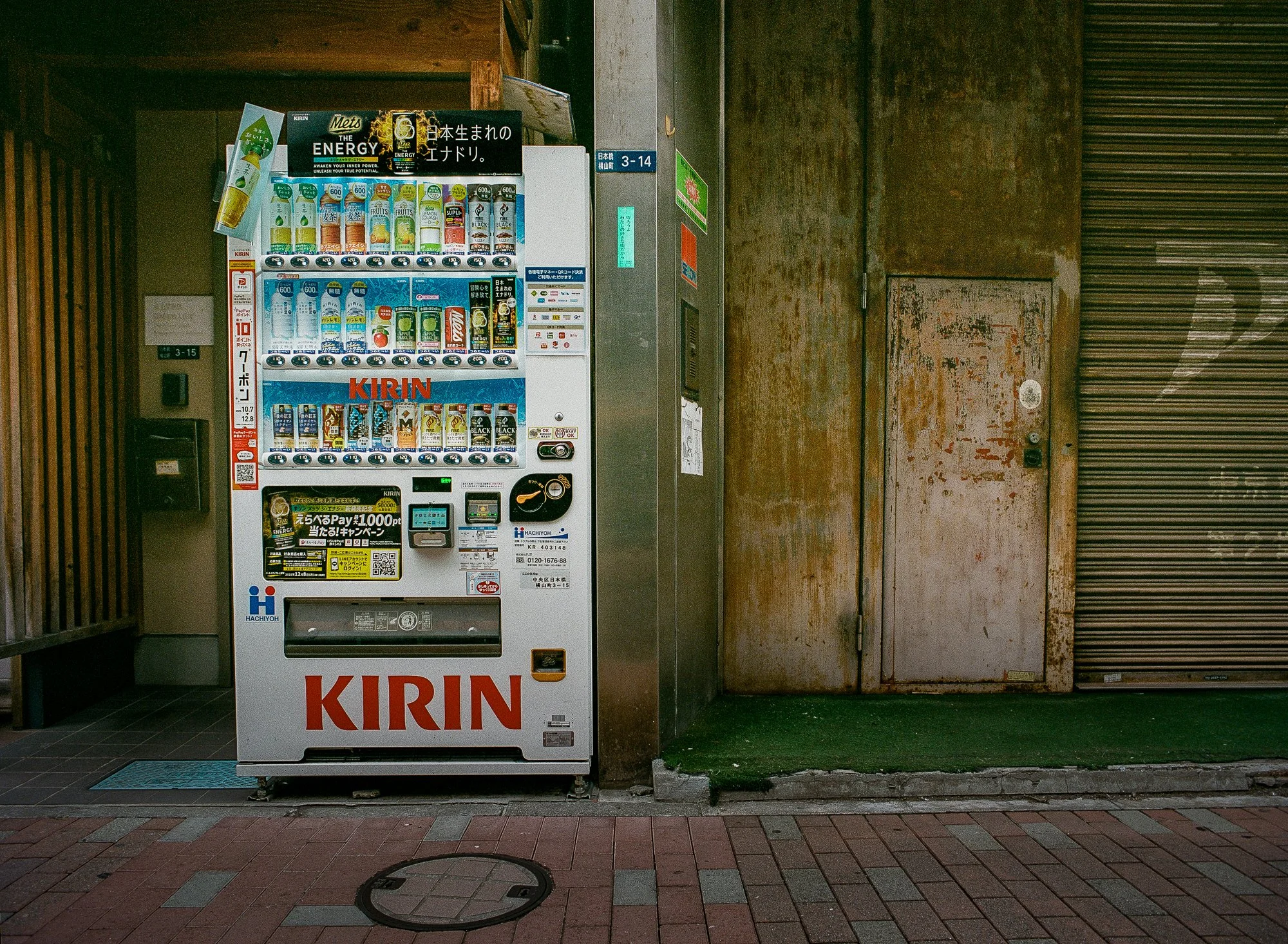
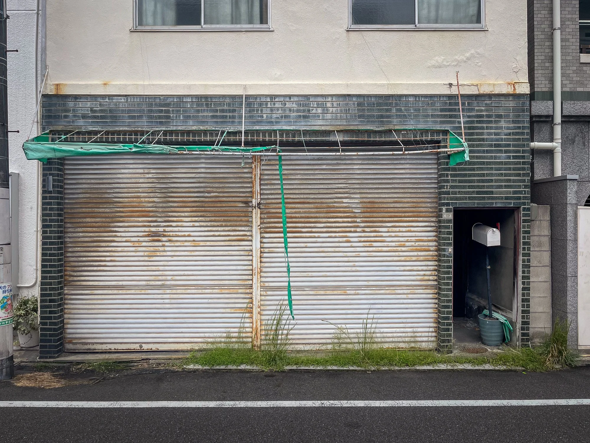
The work positions the lens to distill common storefronts, carports, and neighbourhood alleys into a series of planes of order and city texture. This series explores the beauty of the overlooked; by focusing on the structural geometry and the rust of the urban surface, in an attempt to see ordinary matter anew.
These façades reflect a design and utility that have remained largely unchanged in the thirty-five years since I first visited Japan—a quiet, enduring consistency found in the margins of the city. Captured mostly on medium-format film, the images emphasize clarity and the accumulation of detail. It is a study of the beauty found in the functional: the weathered texture of a sliding metal door, the arrangement of air conditioning units, and the stillness that resides in the unremarkable corners of the street.
Available in large-format archival prints. The series is intended to have a substantial physical presence, using scale to highlight the intricate textures of the urban patina and to provide a strong, minimalist statement in contemporary environments.